Dragontail Peak
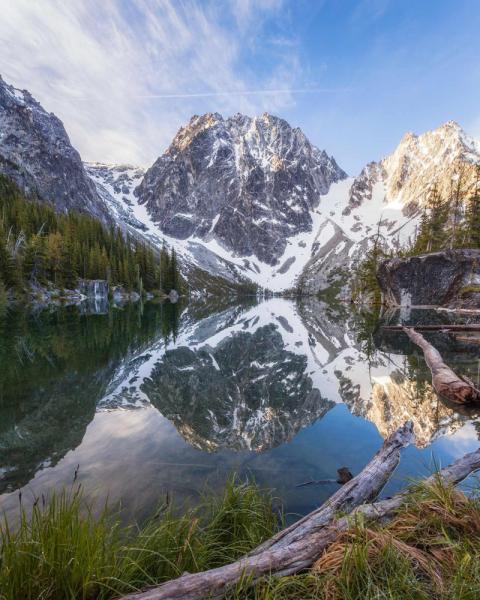
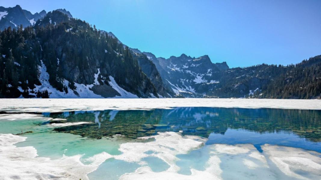
An expert-level alpine scramble and snow climb above Colchuck Lake, approached via Aasgard Pass in Washington's Stuart Range.
Dragontail Peak via Aasgard Pass
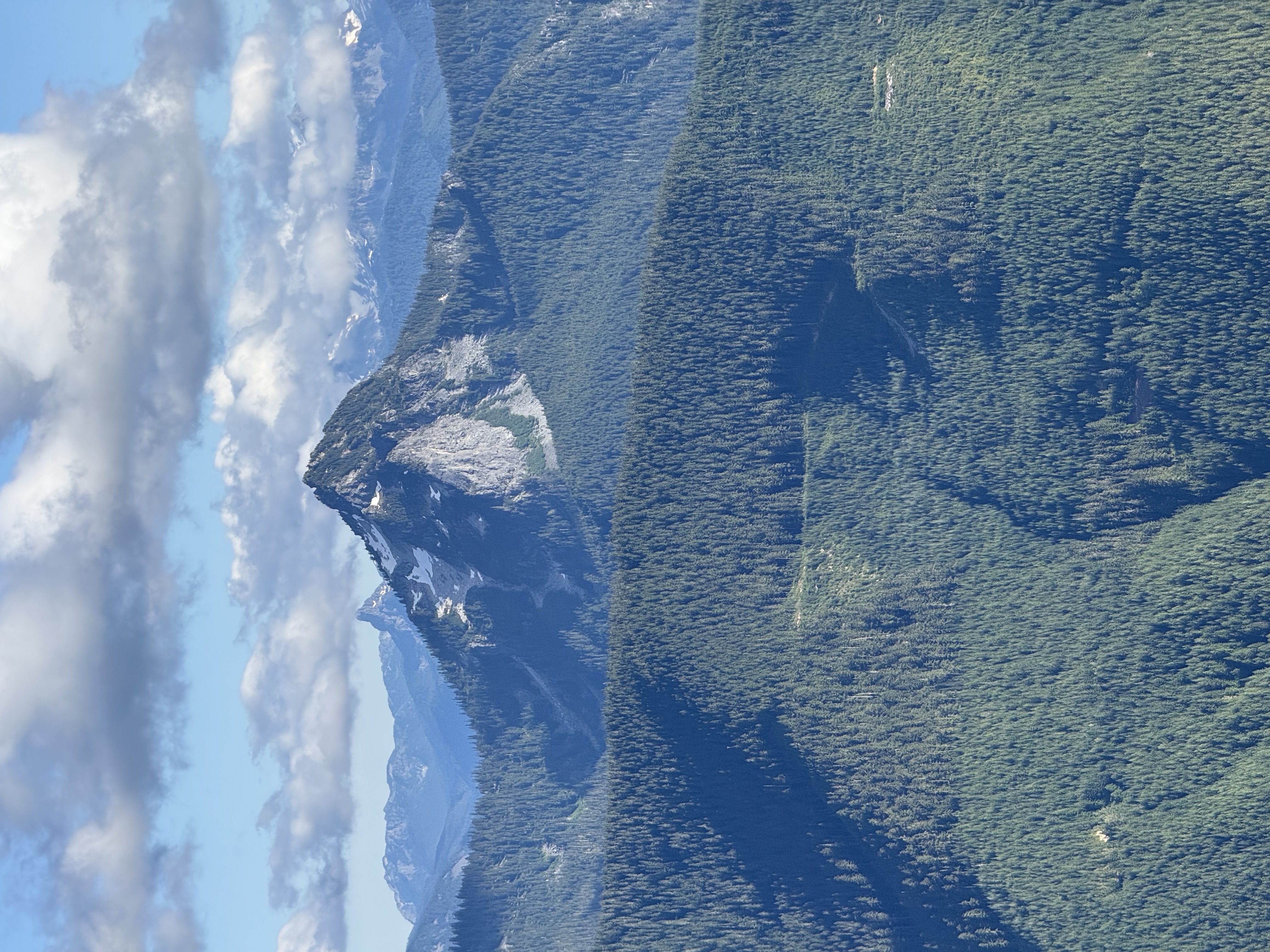
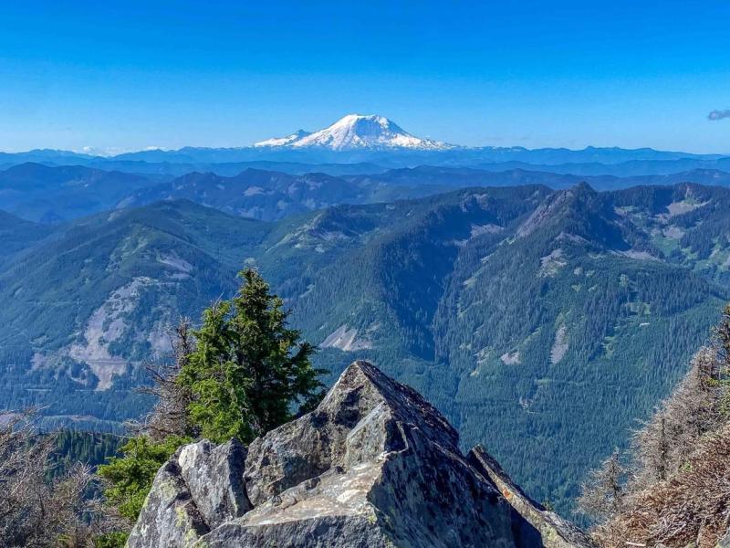
Dragontail Peak rises to about 8,840 feet (2,695 meters) in the Stuart Range, within the Alpine Lakes Wilderness near Leavenworth, Washington. This summit outing is an expert-level alpine scramble and snow climb for experienced parties.
Route overview
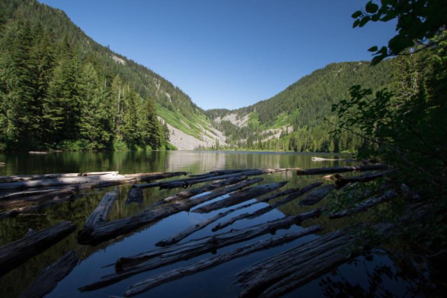
Start at Stuart Lake Trailhead and follow the approach to Colchuck Lake. Continue toward Aasgard Pass, then follow the east-side snow slope and saddle approach toward the summit. Return by the same general route. The summit approach requires route-finding beyond maintained trail.
Approximate route statistics: The distance and elevation gain shown here are for the Aasgard Pass route from Stuart Lake Trailhead: 16 miles (25.75 km) round trip and 5,300 feet (1,615 m) of gain, as described by The Mountaineers. Estimates vary: Washington Trails Association lists 13.5 miles and 5,833 feet. Confirm your itinerary, current conditions and turnaround plan.
Terrain and preparation
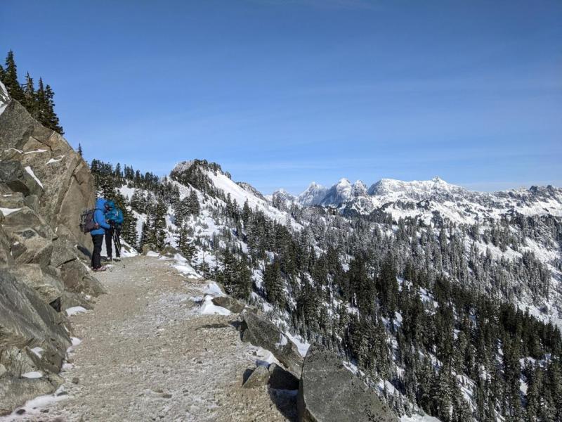
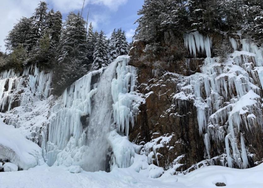
Expect steep snow or ice, exposure, loose rock and difficult navigation. Conditions can require mountaineering equipment and the skills to use it, including safe snow travel and self-arrest. Equipment needs and suitable timing depend on snow, ice and weather. Check current forecasts, access information and recent condition reports before departure, and turn around when conditions exceed the party's skills.
This overview is not a navigation track or a report of current conditions. Carry a reliable map and appropriate navigation tools; do not rely on this summary to choose a safe line across alpine terrain.
Permits
Day use requires a free self-issued wilderness permit. Overnight stays in the Enchantment Permit Area require a permit from May 15 through October 31. Check current requirements and availability on Recreation.gov.
Summit location and elevation: Peakbagger. Trailhead location: Washington Trails Association.
Explore in the Visituros app
Open this exact place in the app, or install Visituros first.
Open in VisiturosCheck-in stats
Reviews
No reviews yet.
Be the first to share your experience.
Nearby Places
Within 35 miles · 11 found