Hiking
Mount Rainier
Hard
Camp Muir
A demanding high-altitude hike from Paradise to Camp Muir at 10,080 ft.
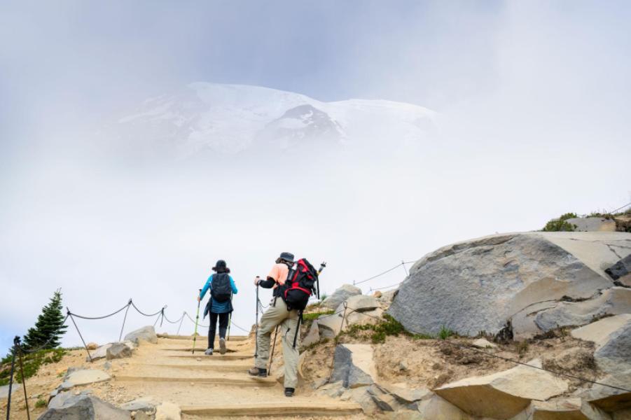
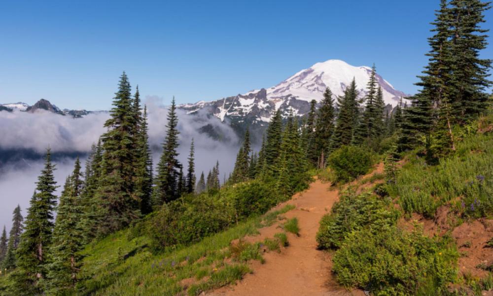
Camp Muir is a high camp on Mount Rainier reached from Paradise. Start near the Jackson Visitor Center and follow the Skyline Trail system toward Panorama Point and Pebble Creek. The maintained Pebble Creek Trail ends at the base of the Muir Snowfield. Beyond this point, the approach to Camp Muir is a snowfield route rather than a maintained, continuously signed hiking trail.
The full trip is about 8 miles round trip with roughly 4,640 feet of elevation gain, reaching about 10,080 feet. It is a strenuous high-altitude outing and conditions can change quickly. The Muir Snowfield requires route-finding and snow-travel skills. Fog or whiteout can make navigation extremely difficult.
Safety: Check current Mount Rainier National Park conditions before starting. Microspikes or crampons may be appropriate or necessary depending on snow and ice conditions. Late in the season, firm ice and open or hidden crevasses can develop on or near the route. Stay on established trails through vegetation and avoid wandering onto surrounding glaciers. Carry navigation tools, the Ten Essentials, adequate water, warm layers and emergency gear, and turn around if conditions exceed your experience.
Day hiking to Camp Muir is allowed without a wilderness camping permit. Overnight camping and climbing or glacier travel have additional Mount Rainier National Park permit requirements.
Difficulty
Hard
Time
6–9 hours round trip
round trip
Distance
8.0 mi
12.9 km
round trip
Elevation gain
4,640 ft
1,414 m
Best season: summer
Paradise Meadows & Skyline Trailhead — Paradise, Mount Rainier National Park, WA
Road access: Begin at Paradise near the Jackson Visitor Center. Follow the Skyline Trail system toward Panorama Point and Pebble Creek. Beyond the maintained Pebble Creek Trail, travel continues on the Muir Snowfield; check current NPS conditions before departure.
Explore in the Visituros app
Open this exact place in the app, or install Visituros first.
Open in VisiturosCheck-in stats
Been there
0
Want to visit
1
Reviews
No reviews yet.
Be the first to share your experience.
Nearby Places
Within 35 miles · 10 found